Nguyen Duc Hung is a long-time VietNamNet contributor with a passion for travel and cultural exploration. Over the past decade, he has conquered numerous peaks, especially across Vietnam’s rugged northwest. Below is his latest piece on the thrilling journey to Chu Va, one of the country's most challenging climbs.

Tucked away in Chu Va 12 village in Tam Duong district, Lai Chau province, the Chu Va range has only come to light among mountaineering enthusiasts over the past two to three years.
Known for its treacherous terrain, Chu Va is hailed as one of the most difficult climbing routes in Vietnam – a true "graduation exam" for serious mountaineers. At the end of March, I joined seven seasoned trekking friends for a three-day, two-night expedition to conquer its daunting peaks.
The route includes three closely located summits: Mieu Thach Son, Chu Va, and Can Chua Thia Sang. Attempting all three within a few days demands extraordinary stamina and resilience.
Day 1: Rock shelters and the fear of heights

At 7 a.m., we departed from Chu Va 12, following two crystal-clear streams uphill. Despite the dry season, the water still gurgled coolly underfoot. As we gained elevation, the streams faded and the steep gradient loomed ahead.
After four hours of climbing mostly under dense forest cover, we reached a rock shelter. Here, locals had erected two simple wooden platforms that can accommodate around 20 hikers. Water was piped in from a mountain spring nearly a kilometer away.
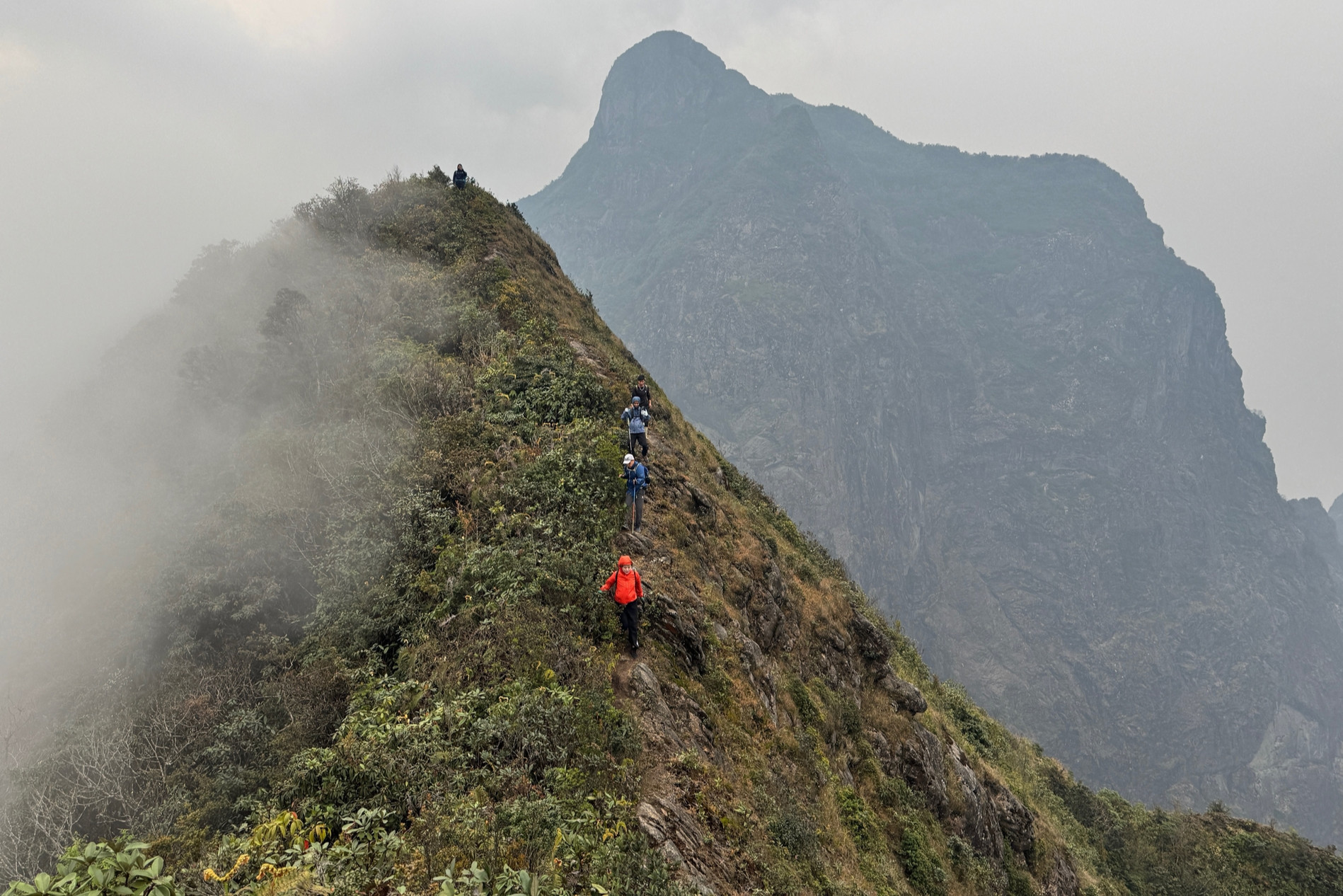
After a quick lunch, we set off at 1 p.m. toward Mieu Thach Son. The path was brutally steep and exposed. Wind howled through the ravines, and one team member, pale with fear, had to turn back due to the dizzying heights and gales.
The rest of us crawled, clung to rocks, and pushed forward with hearts pounding.
By 3 p.m., we stood at the summit. A 360-degree panorama opened up before us – Chu Va and Can Chua Thia Sang felt within reach, while Fansipan and Ngu Chi Son loomed in the misty distance. After 30 minutes of quick photos, we raced downhill, reaching camp by 5 p.m. for dinner and much-needed rest.
Day 2: Endless ascents
We resumed our journey at 8 a.m., aiming to summit Chu Va and return to basecamp. The path was an unrelenting series of steep climbs – no flat ground, no respite.
Makeshift rope ladders and hanging vines installed by locals were essential for scaling the slick, rocky surfaces. With trembling limbs, we moved cautiously along cliff faces.
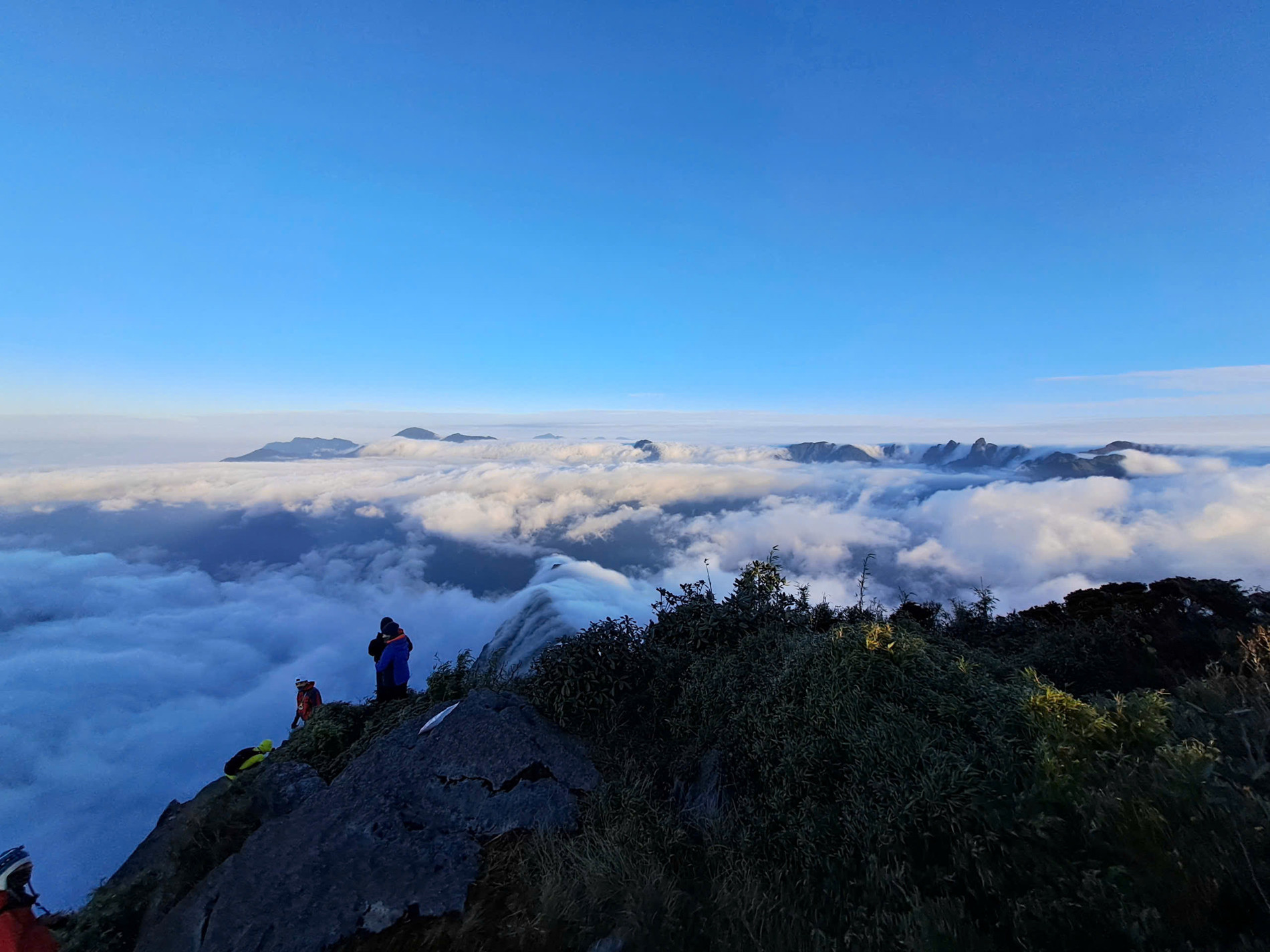
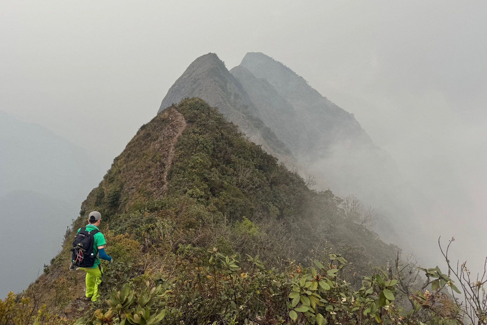
After more than four hours, we reached the top of Chu Va, greeted by sweeping views surpassing even those at Mieu Thach Son. Though the sky was clear, the famed sea of clouds had retreated.
After a brief rest and some photos, we descended to camp. Choong Keng, our local Dao guide, remarked, “This route is so difficult, it’s rarely crowded – the shelters never fill up.”
That night, wind howled through the mountains as I lay awake, mentally preparing for the infamous “dinosaur spine” awaiting us the next day.
Day 3: A graduation test to remember
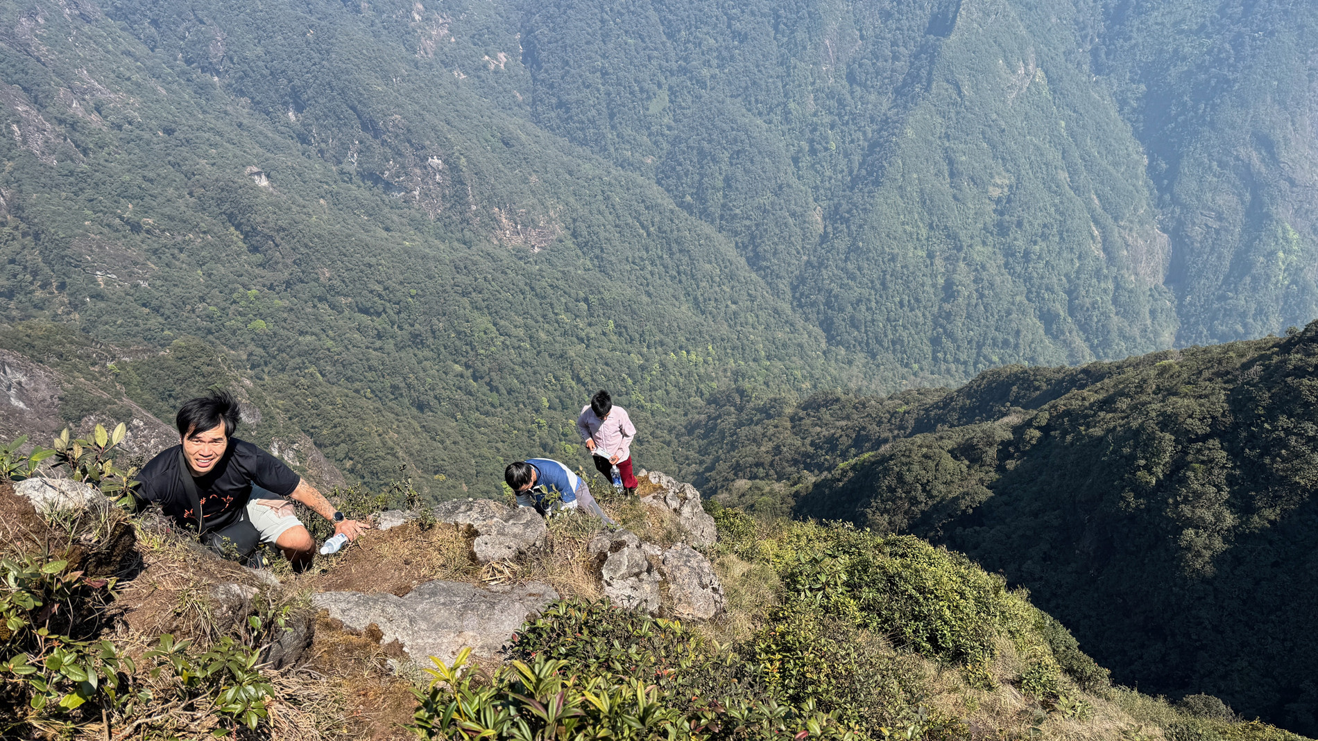
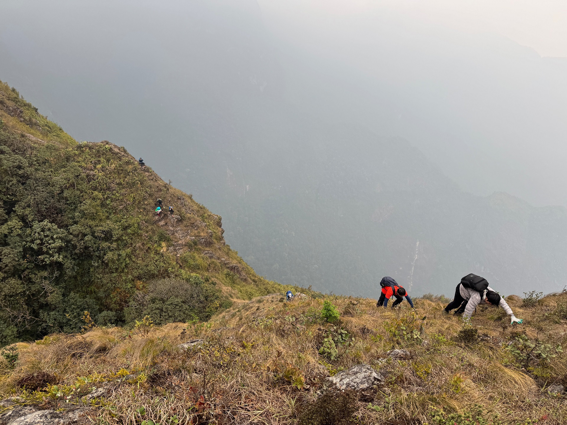
We rose at 5 a.m. and set out at 6 a.m. The route to Can Chua Thia Sang was a 3km ridge trail known as the “dinosaur spine,” winding across four peaks. Compared to Ta Xua, this ridge was longer, narrower, and far more exposed – no ropes, cliffs plunging on either side, and footpaths barely wider than a boot.

I crawled, grasping at grass and shrubs, sweat mixing with tears. Terror and exhilaration gripped me in equal measure. The majestic landscape made every ounce of fear worth it.
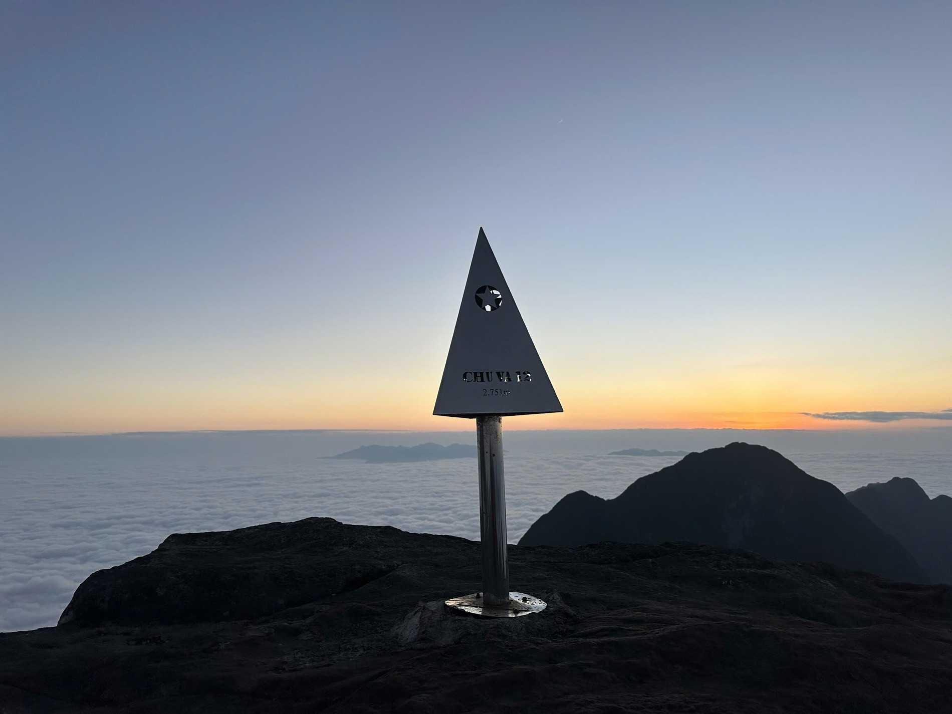
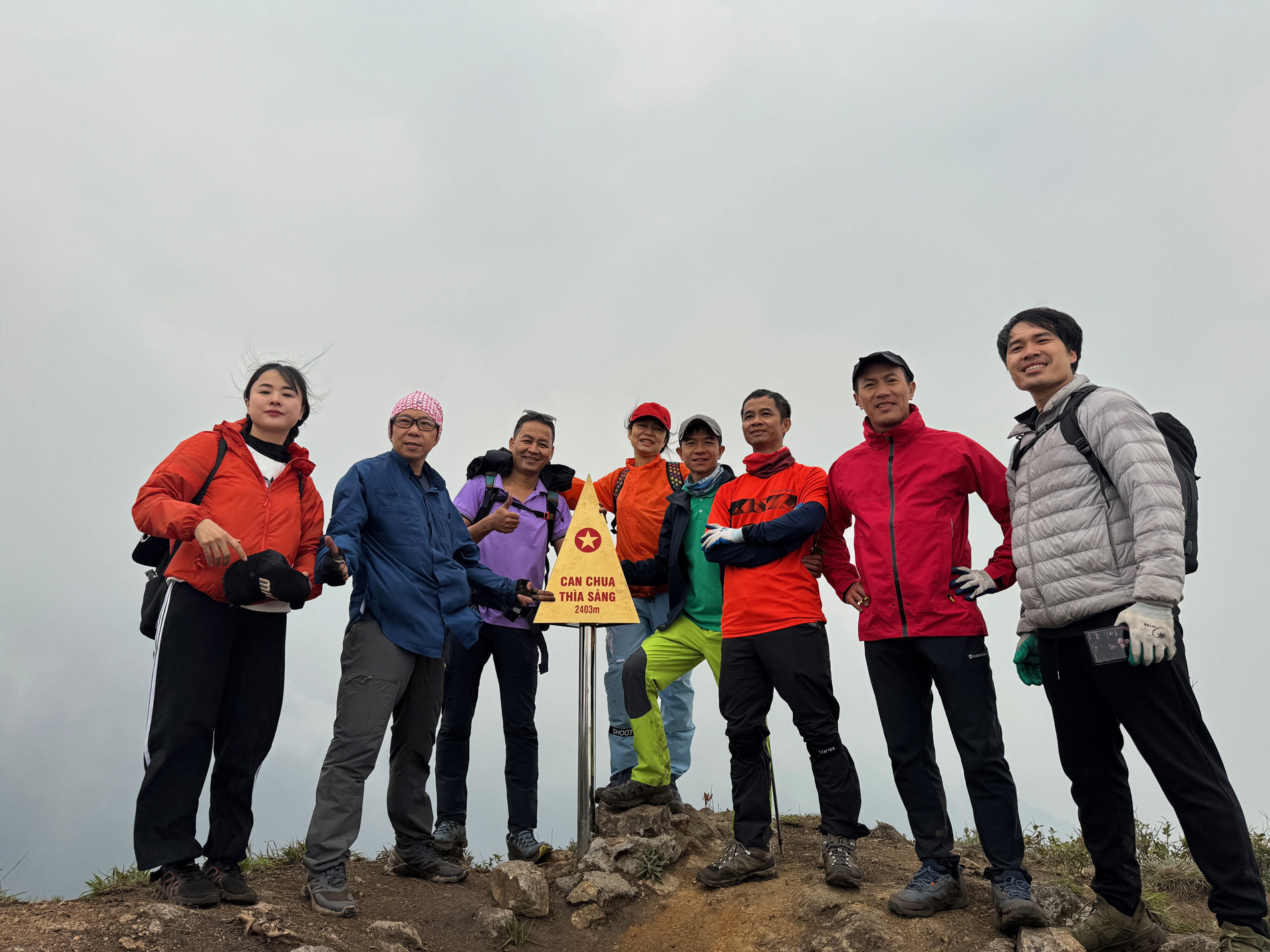
Our lead group reached the 2,403m summit in two and a half hours. The others followed 30 minutes later. With icy wind cutting through us and temperatures around 10°C, we snapped a few quick photos before scrambling down.
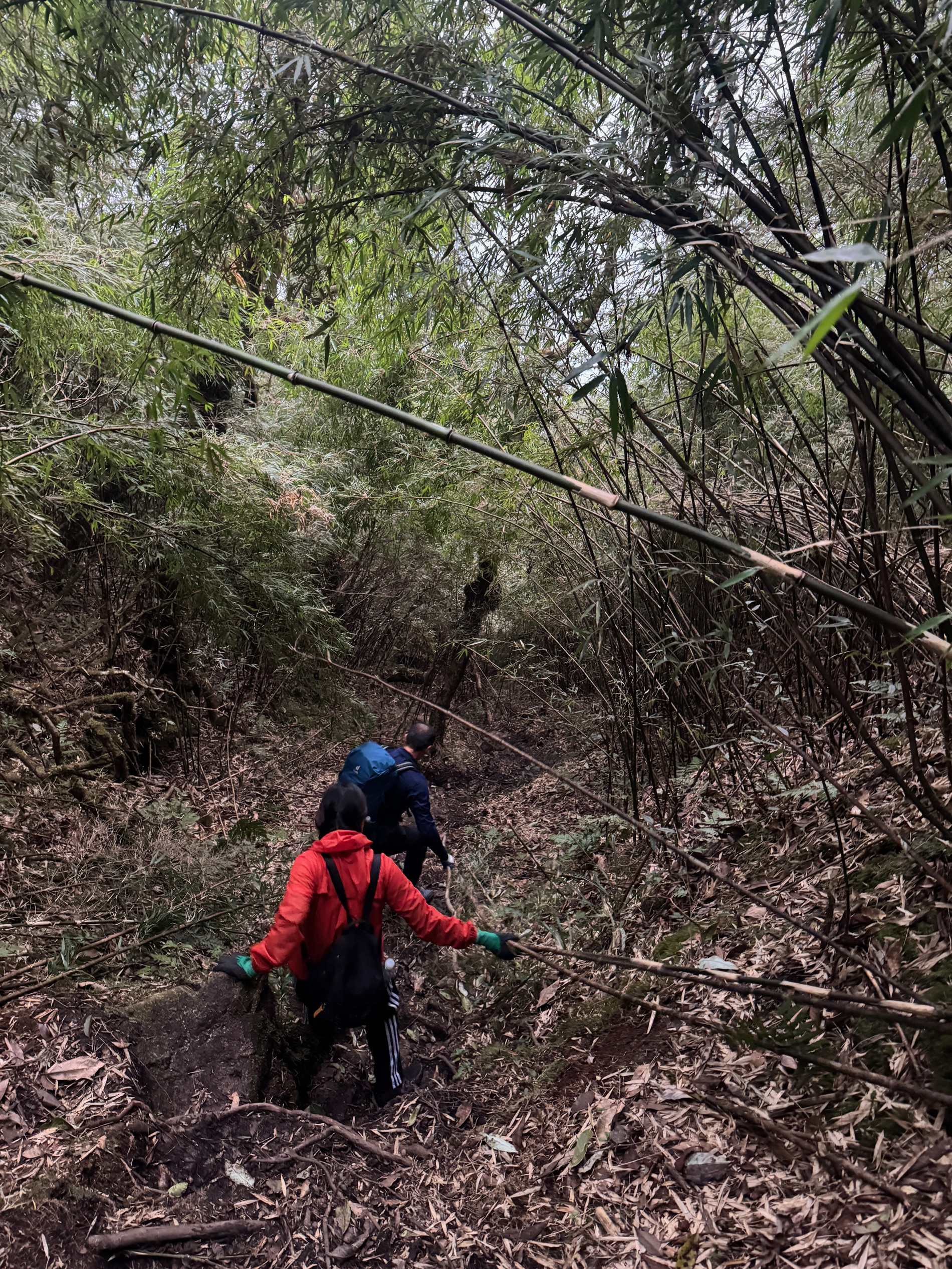
The descent was a steep, slippery scramble. It took more than two hours of clinging to bamboo, roots, and vines to reach the forest edge. Mud-caked but elated, we emerged into sunlight at 11 a.m., officially “graduated” from Chu Va’s test of endurance.
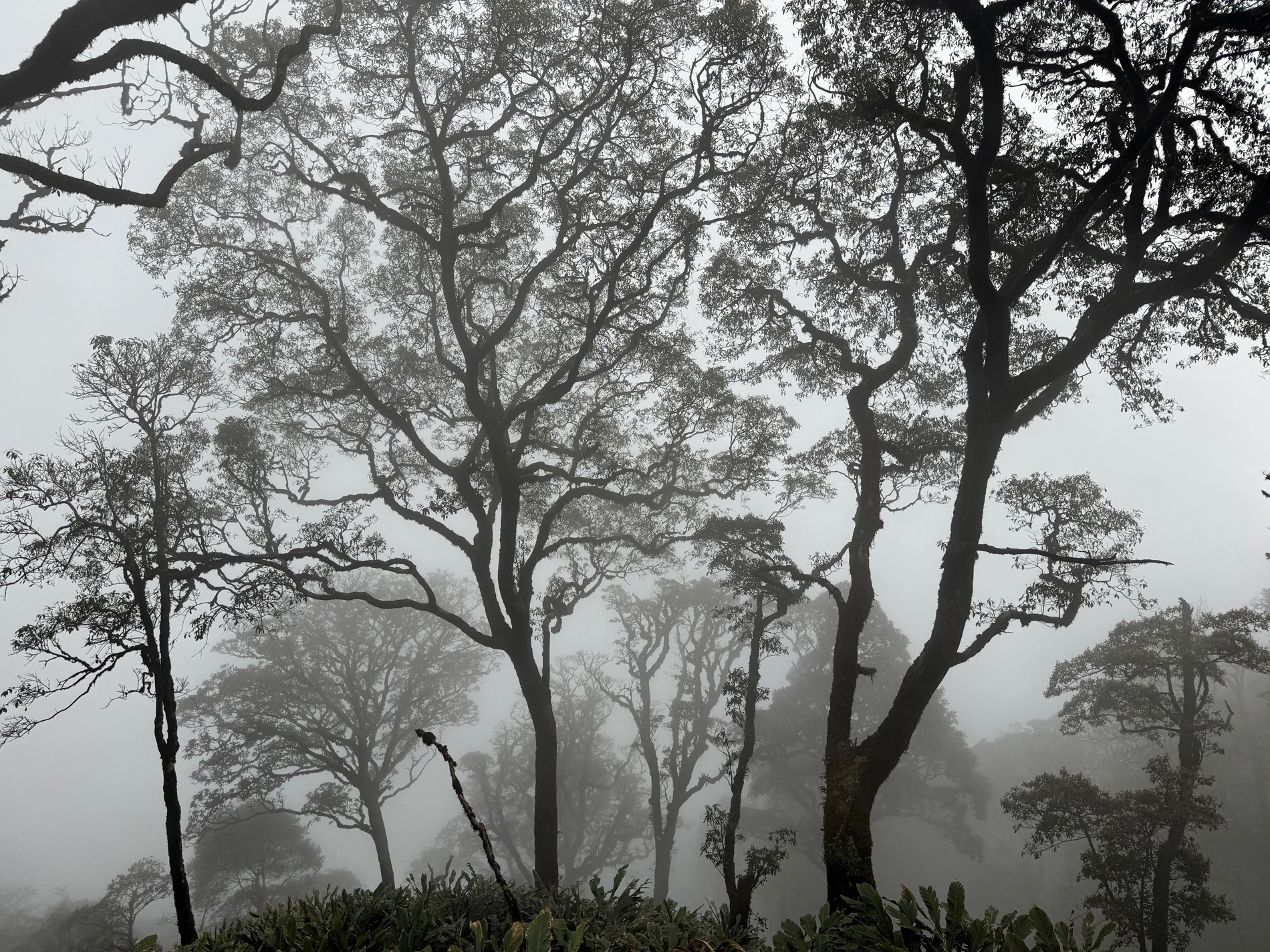
We were blessed with perfect weather and dry trails. Ancient forests – with towering hardwoods, centuries-old rhododendrons, and thickets of bamboo – shielded us from the sun and wind for most of the journey.

Manh Chien, admin of a popular Vietnamese mountaineering group with over 150,000 members, commented:
“Chu Va demands strength, technique, and nerves of steel. I advise only seasoned hikers attempt it – those who’ve conquered Nam Kang Ho Tao or Pusilung. Absolutely avoid rainy conditions. Hire porters to lighten your load and always plan your camp stops and departure times carefully.”
After a decade of exploring Vietnam’s Northwest, I can say this: Chu Va is not for Instagrammers seeking a selfie. It is for those brave enough to confront fear and emerge transformed – stronger, bolder, and more alive.
Nguyen Duc Hung