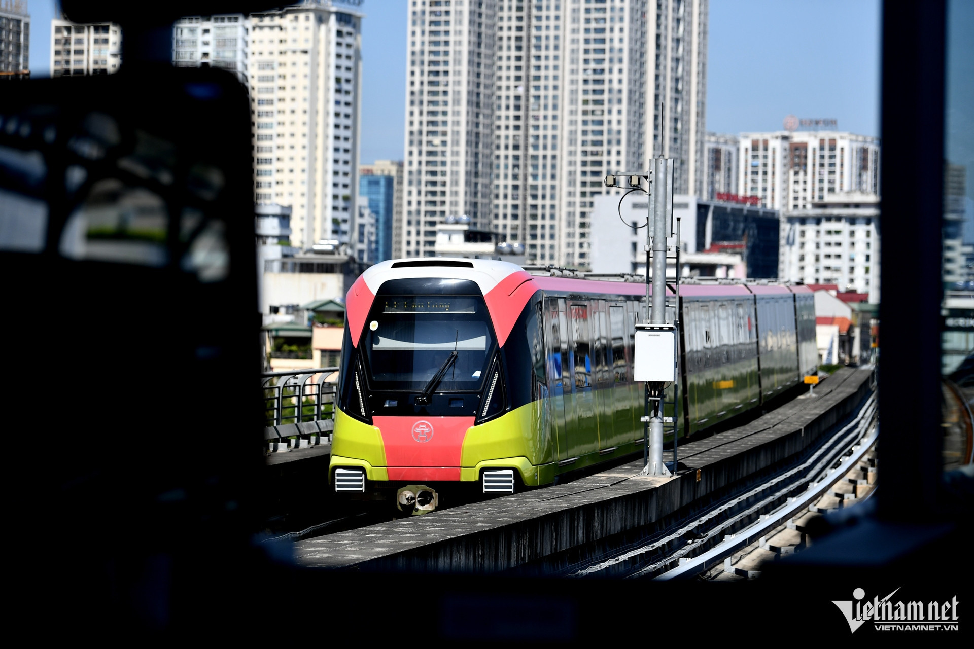
The two operational routes are the Cat Linh – Ha Dong and elevated Nhon - Hanoi Station.
Hanoi’s leaders believe that it would be better not to build one railway route after another, but to develop railway routes holistically.
The state needs to allocate budgets for Hanoi and allow Hanoi authorities to make investment decisions to develop railway projects, based on the approved capital city general planning.
Hanoi needs to design a 1/2000 railway development plan in accordance with TOD (Transit Oriented Development) model to effectively manage and reserve land for railway development and urban area development in TOD area.
However, both the draft of the capital city development planning and the draft of the capital city development adjustment (submitted in 2024) don’t indicate how to arrange land for railways.
In the case of Hoa Lac satellite urban area, after 20 years of development (2004-2024), the number of local residents is less than 5 percent of expected population (30,000 vs 600,000 people), while billions of dollars have been spent to develop the infrastructure there.
In 2016, JICA (Japan International Cooperation Agency) publicized its research about the railway route, which showed that all the land on both sides of the route had been allocated, but there was no land for 38 kilometers of railways.
With total investment capital estimated at $2.8 billion and predicted 400,000 passengers a day, investors would only take back investment capital after 48 years of exploitation (2016-2064).
The EIRR (economic internal rate of return was 10.9 percent, lower than 12 percent, while the FIRR (Financial Internal Rate of Return) a minus (-) figure because of huge investment and low revenue from tickets.
Planning doesn’t follow conventional principles
In 2020, the Japan Metro Association published the book ‘Metro of the World’ which provided information about 66 metro networks in cities in Europe, Asia, Africa, America and Australia.
The book showed that the cities with similar area and topography as Hanoi all have the same model of radial network with circle connections. Some cities have two concentric rings (Beijing, Singapore) and intersecting rings to optimally connect urban railway lines going in different directions.
Meanwhile, Hanoi’s scheme of 12 urban railway lines designed in the capital city planning has high density but is fragmented and lacks connection. There is an imbalance in the network distribution density between the North and South banks of the Red River.
Therefore, it would be better to replace the scheme with the "3 radial lines and 2 connecting circles" to make the most of existing infrastructure and obtain high investment efficiency, as well as attract investment from the society.
The urban transport system should be multi-modal: urban railway would be the major means of transport, while there would also be rapid buses, regular buses, small buses, e-hailing motorbikes, bicycles, etc…
Multi-purpose integration
In one of his articles, Nguyen Cao Minh, head of the Hanoi Metropolitan Railway Management Board (MRB), emphasized that Hanoi is now having a historic opportunity to deploy TOD model in its long-term urban area development strategy.
The policy would not only help optimize the use of land, but also reduce traffic congestion, mitigate emissions and improve the quality of public space. It is the key to increase the added value of land, and facilitate the development of new economic zones.
MRB is now the developer of the 8.7 kilometer Hanoi – Hoang Mai urban railway project, capitalized at VND40.57 trillion ($1.752 billion). Though the investment rate is $200 million per kilometer, higher than the level recommended by the World Bank, the expected number of passengers is lower than the minimum level that is worth investment.
The final railway section of the route is located in an area with many lakes, ponds and old deserted village. Meanwhile, the site for the last station has not been identified yet, because the site is adjacent to land plots allocated to real estate developers and Yen So Pump Station.
The $1.752 billion could be used to develop more than 8 kilometers of underground urban railways, plus underwater road bridge and railway crossing Red River and connecting Gia Lam station. If the model is chosen, it would bring many benefits: serving a high number of passengers (20,000-40,000 trips a day), while Hanoi would have one more road bridge across Red River and new, valuable underground spaces in the central area.
Tran Huy Anh
The Hanoi Association of Architects